|
| 2:54 p.m. - Crossing the Danshui River from Taipei to Sanchong township, Taipei County, on Taipei Bridge, looking north. The Yangmingshan range is on the right, but that pointy peak on the left, Mt. Guanyin is my destination on the day. |
 |
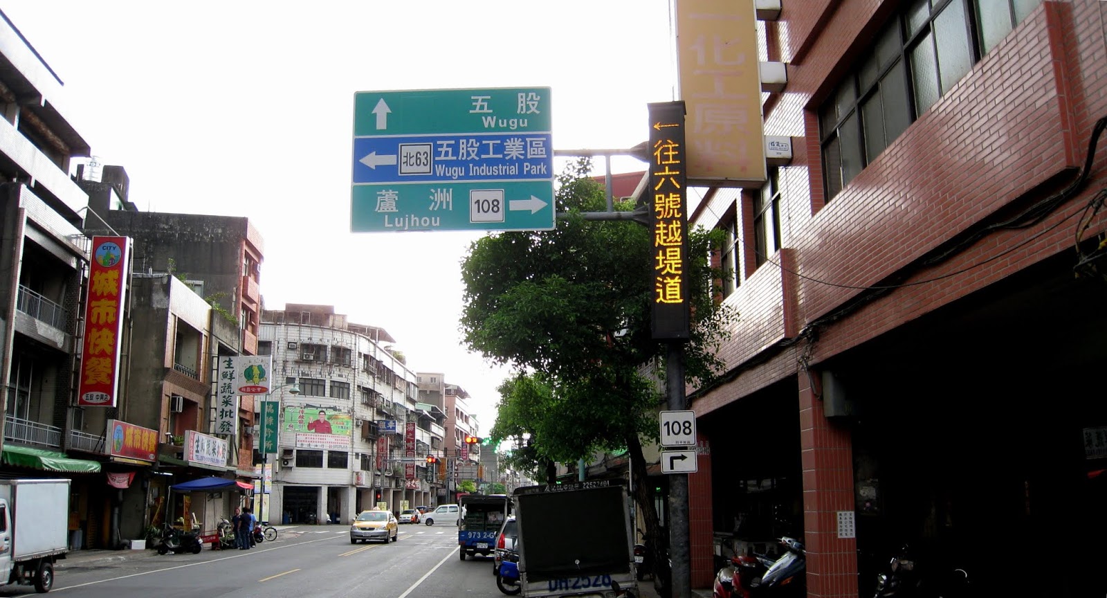
| 3:07 p.m. - Sanchong township, Taipei County. The first part of the ride is all urban. There is a way to avoid riding through urban Sanchong on the bikeways, but at this point I didn't know how long the ride would be, so cutting through Sanchong on city streets was a shortcut. |
 |
| 3:16 p.m. - Erchong/Shuhong reclaimed wetlands park. The bikeways reach here in a roundabout way without going through urban streets. Mt. Guanyin peak in the distance. The park also serves as a flood plain in case the river system overflows during storms. The foreground is the flood plain barrier to protect the township from flooding. |
 |
3:17 p.m. - Roads from Sanchong, to the left, access roads crossing the reclaimed wetlands park on the right via ramps over the flood barrier. To drivers, I imagine, it's just how the road runs without bringing attention to its function.
|
 |
| 3:32 p.m. - After crossing the reclaimed wetlands and getting back on Rte. 108, the climb begins in Wugu township. As with many climbs in the Taipei area, it starts in distinctive dirty, urban settings, giving way to more industrial, rural environs, but as the road rises above the industry it becomes increasingly natural. |
 |
| 3:44 p.m. - Rte. 108 crossroad. I've gone up to Linkou township several times, including recently to Taoyuan County, but this is the first time going right to Mt. Guanyin. |
 |
| 3:50 p.m. - S-line roads on the climb. |
 |
| 3:52 p.m. - Cemeteries abound surrounding Mt. Guanyin. |
 |
| 3:56 p.m. - Still climbing, view of the Port of Taipei on the northwest coast. It's pretty new, I think, along with the expressway (left side) leading away from it via a tunnel through the mountain. Keelung is still the major port serving northern Taiwan (second in size to the Port of Kaohsiung in the south), but this was built as a supplement anticipating economic growth. |
 |
| 4:14 p.m. - Mt. Guanyin visitor center. I get to the top and it's a park. It's not paradise, they put up a parking lot. |
 |
| 4:22 p.m. - Guanyin peak looking not so impressive from this perspective. Not to detract from cyclists' climbing, nor hikers braving trails up the mountain, but in truth lazy people can drive up to meters from the peak. It's all good. Whatever suits one's recreation. |
 |
| 4:29 p.m. - Needless to say I didn't stay long on the peak and descended on the north side. Port of Taipei with more cemeteries in the foreground. |
 |
| 4:37 p.m. - Rte. 50 north (heading east), pretty much descended the mountain. The top pic is cemeteries looking back up the mountain. The bottom pic indicates how close I am to sea level. |
 |
| 5:02 p.m. - The descent ends in Bali township and it's just a matter of getting to a road crossing to get on the left bank Danshui riverside bikeway to head back home. |
 |
| 5:44 p.m. - A last sunset look at Guanyin peak from the bikeways heading home. |
WordsCharactersReading time